Looking at a home in Braeswood Place and wondering how flood risk could affect your offer, insurance, or loan? You are not alone. This area sits along Brays Bayou, so flood and elevation details can change your costs and your peace of mind. In this guide, you will learn how to read maps, check a property’s elevation, and plan for insurance and lending with confidence. Let’s dive in.
Why flood diligence matters in Braeswood Place
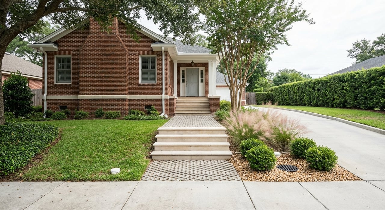
Braeswood Place sits southwest of the Texas Medical Center with Brays Bayou forming much of the neighborhood’s northern edge. Because streets closer to the bayou can see different flood behavior than blocks farther south, you should make flood checks a standard part of your home search. The Brays Bayou watershed has a long history of urban flooding, including Tropical Storm Allison in 2001 and Hurricane Harvey in 2017. That history explains why many homes have been elevated, rebuilt, or retrofitted, and why due diligence is essential before you write an offer.
What the new draft maps mean
In early February 2026, Harris County released updated draft flood-mapping data through the MAAPnext program for technical review. These draft layers use newer rainfall data, LiDAR topography, and completed mitigation work to show today’s modeled risk. Draft maps are not yet regulatory, but they are the best early look at where official maps may move. Use them to prioritize properties for deeper review, then confirm status with the effective FEMA map during underwriting.
- Check the effective FEMA Flood Insurance Rate Map (FIRM) in the FEMA Flood Map Service Center.
- Compare to the MAAPnext draft layer in the MAAPnext viewer.
- If the draft shows a shift into the 100-year floodplain, flag that home for more analysis. Lenders still use the effective map until FEMA finalizes changes.
Project Brays: progress and limits
Project Brays is the long-running flood damage reduction program on Brays Bayou led by the Harris County Flood Control District and the U.S. Army Corps of Engineers. Work includes about 21 miles of channel modifications, 32 bridge replacements or modifications, and multiple detention basins with multi-billion-gallon combined capacity. These improvements are reflected in the MAAPnext modeling where completed. Mitigation reduces modeled flood depths but does not remove all risk, and localized street or yard ponding can still occur. You can review neighborhood project context on HCFCD’s Project Brays page.
The documents you need
Getting the right records early keeps surprises out of escrow. Here is what to request and why it matters.
FEMA maps and MAAPnext
Use the effective FEMA FIRM for today’s regulatory status and the MAAPnext viewer for the county’s draft risk picture. Download a FIRMette for your address and save it with your offer documents.
- Where to start: FEMA Flood Map Service Center and the MAAPnext viewer.
Base Flood Elevation (BFE) and FIS
The BFE is the modeled water surface elevation in a 1 percent annual chance flood. If a detailed study applies to your area, record the BFE and note the datum used. You will compare this to the home’s surveyed elevation to understand risk and insurance impacts.
Elevation Certificate (EC)
An Elevation Certificate is the single most useful property-level proof of elevation. It shows the finished floor elevation, lowest adjacent grade, and key utility heights, and it notes the datum (commonly NAVD88). Ask the seller for a current EC or make it a contract contingency. Learn the form’s sections and data points in FEMA’s EC guidance: Elevation Certificates overview.
- Key checks: confirm datum, finished floor elevation, and whether the EC is “finished construction.”
- Calculation tip: compare Finished Floor Elevation to BFE. Positive feet above BFE often helps with insurance pricing. Below BFE can increase costs.
Letters of Map Change (LOMA/LOMR)
If the effective map shows the structure in a Special Flood Hazard Area but the survey proves it is above BFE, a Letter of Map Amendment or Letter of Map Revision can correct that. Ask whether a LOMA or LOMR already exists. If not, it may still be possible with a survey and FEMA review.
Texas seller’s disclosure
Texas law requires a Seller’s Disclosure Notice that asks directly about past flooding, water penetration, and flood insurance claims. Always request this form and any related repair documentation.
- Statute: Texas Property Code §5.008
- Standard form: TREC Seller’s Disclosure Notice (OP-H)
Permits and repair history
City and county permit files can show whether a home was elevated, had foundation work, or documented post-flood repairs. Pull the permit history to confirm scope, dates, and sign-offs. Match what you see on site with the records.
On-site verification
Walk the lot with your inspector and look for grading, low points, or driveway inlets that could trap water. Check whether mechanicals like HVAC, water heater, and electrical panel are elevated above the lowest floor. Note any signs of previous high water or repairs.
How elevation affects insurance and lending
FEMA’s Risk Rating 2.0 sets National Flood Insurance Program premiums using property-specific features such as distance to water, elevation, foundation type, and replacement cost. Zone alone no longer predicts pricing. Always obtain an actual NFIP quote, and compare it with one or more private-market quotes.
- Learn how pricing works: FEMA Risk Rating 2.0 overview
- Lender rule: If the home is in a FEMA-mapped Special Flood Hazard Area at loan time and the mortgage is federally related, flood insurance is required.
- Removing a requirement: A successful LOMA can change a lender’s flood determination for a specific structure.
- Small differences matter: A floor 1 to 2 feet above BFE can materially change premiums. The only way to verify is with an EC compared to the BFE.
Street-level buyer checklist
Use this quick list to compare homes on the same block.
- Map checks: Run the address in the FEMA MSC and in MAAPnext. Save a FIRMette and note AE or X zone on the effective map. If the draft map moves the parcel into the 100-year zone, flag it for deeper review.
- Ask the seller: Request the Texas Seller’s Disclosure Notice and any flood insurance policy numbers, prior claim details, and proof of repairs.
- Get the EC: Ask for a current Elevation Certificate. If not available, include a survey or EC contingency. Confirm datum and compute Finished Floor minus BFE.
- Review permits: Pull City of Houston and Harris County permits for elevation, foundation work, or major repairs. Verify final inspections.
- Check for LOMA/LOMR: Ask if one exists. If not, evaluate whether the structure might qualify based on surveyed elevations.
- Inspect the site: Observe grading, street ponding after typical rain, curb heights, and nearby storm outfalls. Document with photos.
- Verify utilities: Confirm HVAC, electrical panel, and water heater sit above the lowest floor or slab. Plan for retrofits if not.
- Price the risk: Get an NFIP quote and at least one private quote using EC data. Ask your lender to run a flood determination early in the contract.
- Plan mitigation: If the home is below your elevation target, price options like raising utilities, adding flood openings, or elevation work.
- Protect your offer: Build a clean file that includes the FIRMette, seller disclosure, EC, permit history, and insurance and lender contingencies where appropriate.
How I help you compare homes
You deserve clear answers and a calm, organized process. I combine local knowledge of Braeswood Place with a step-by-step due diligence plan so you can compare homes by both lifestyle and long-term cost. I coordinate timelines, help you gather the right documents, and keep your offer package focused and strong. When you are ready to tour, I am here to guide you through the details that matter.
If you want a quick strategy session tailored to a specific Braeswood Place street or listing, reach out to Lee Kaplan. We will walk through your short list and map out next steps.
FAQs
Do draft MAAPnext maps change my insurance now?
- Not immediately. Draft maps are for technical review and public comment, not regulation, but they are useful to plan likely future changes and to get quotes.
What is the Base Flood Elevation and why does it matter?
- The BFE is the modeled 1 percent annual chance water surface elevation, and comparing it to your finished floor via an Elevation Certificate helps predict insurance pricing.
Is an Elevation Certificate required to buy a home?
- Not always, but an EC is the best document to prove elevation and secure accurate NFIP and private flood quotes, so many buyers require it by contingency.
Can a lender require flood insurance if the house never flooded?
- Yes. If the structure is in a FEMA Special Flood Hazard Area on the effective map and the loan is federally related, the lender will require flood insurance.
Will Project Brays eliminate flooding in Braeswood Place?
- No. It reduces modeled flood depths in many areas but cannot remove all risk, and localized street or yard ponding can still occur, so property-level checks remain vital.